

Silver Cascade Falls Trail
Type: Easy out and back
Length: 0.6 miles round-trip
Near: In Cheyenne Cañon, Drive up the cañon to the parking area, building and visible Helen Hunt Falls at the trailhead.
What’s Cool: Waterfalls! You can admire Helen Hunt Falls at the start of this short hike. A second waterfall is over the bridge and through the woods. You’ll walk up well-maintained stairs that make the trail safe for families. This might be a little steeper than many easy-rated trails, but the distance is short. Silver Cascade Falls can be seen at the top of the stairs from the lookout, where the water glides over curved granite rock.
From the Expert: This mountain trail can overflow with hikers during the summer months, and the visitor’s center is the hub for supplies before your trek, says Randi Hitchcock, executive director of UpaDowna: “A sentimental hike for me; this is where I first earned my hiking boots as a kid!”
Lovell Gulch
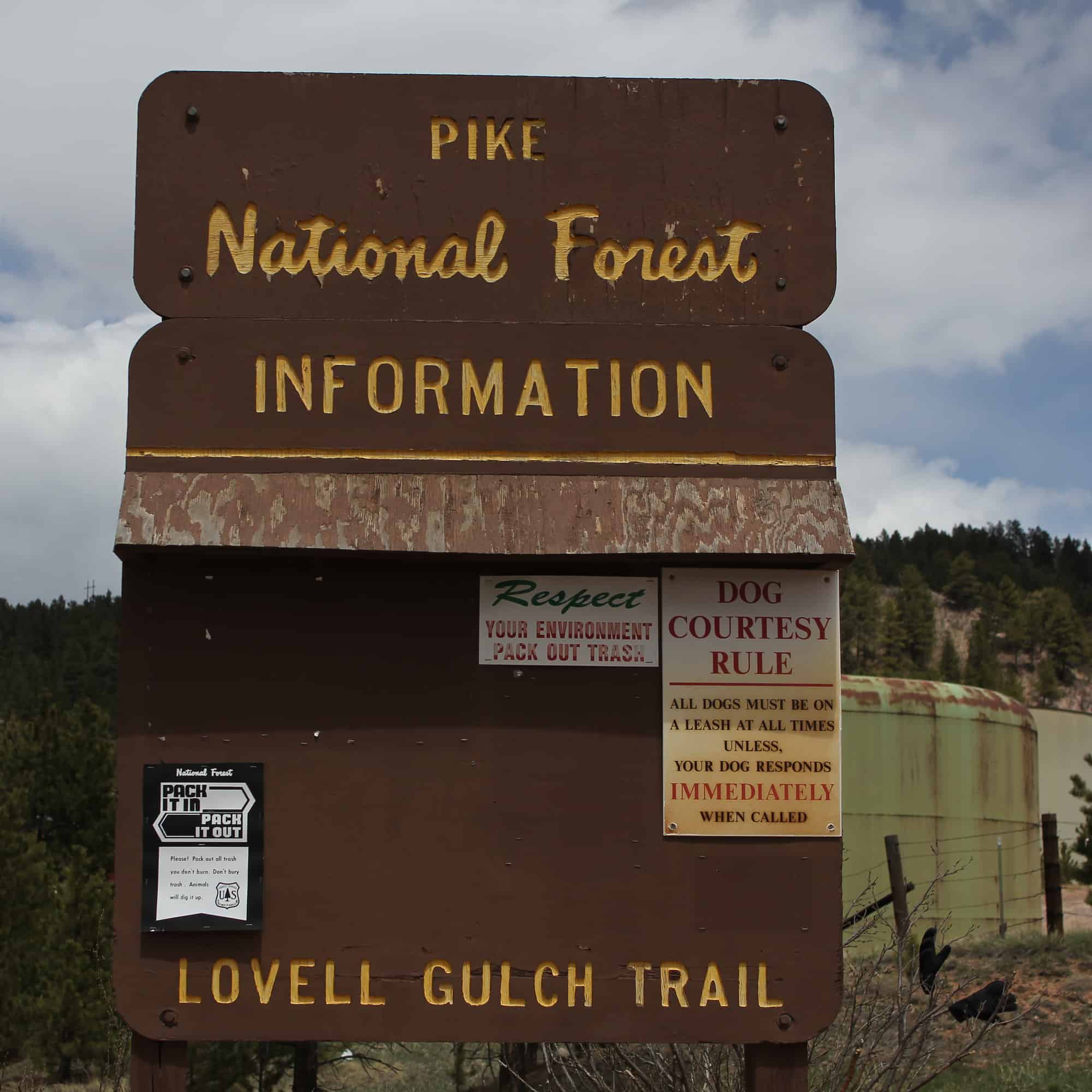
Type: Moderate lollipop loop
Length: 4.9 miles round-trip
Near: Woodland Park. From Colorado Springs on U.S. 24, turn right at McDonald’s in Woodland Park on South Baldwin Street, which becomes Rampart Range Road. Watch for parking on the left behind the city maintenance building.
What’s Cool: The quiet. The trailhead is tucked away on the outskirts of town, and it doesn’t take long before diving into the woods. You’ll hop over a small—and pretty—stream before hitting the first incline. Trailblazers recommend hiking this route clockwise to enjoy the full loop. Some steep inclines will appear throughout the way, but the effort is rewarded with views of Pikes Peak. The mountain trail usually has light traffic.
From the Expert: “One of my favorites! Maybe because it’s a lesser known hike located in Woodland Park,” Hitchcock says. “This mostly singletrack trail is great for mountain biking, but also rewards the hiker as well.”
Mount Rosa from Cheyenne Cañon

Type: Strenuous out and back
Length: 13.5 miles round-trip
Near: Above Cheyenne Cañon. Drive to the parking lot at the top of the cañon, where Gold Camp Road meets High Drive.
What’s Cool: You’ll start on the wide, heavily-trafficked (but closed to vehicles) Gold Camp Road, but once you hit this singletrack just past the collapsed tunnel, you’re in for a few shady and serene miles along Saint Mary’s Creek. About 3 miles in, you can take a breather during the stretch of steep switchbacks by detouring to Saint Mary’s Falls.
After that, you’ll reach several trail junctions, so it’s best to take a map. (You can get more details here.) When you reach Rosa’s summit, you’ll be rewarded with almost top-of-the-world views, with the city spanning below you to the east. Pikes Peak and Almagre Mountain still reach higher, but on top of Mount Rosa, you feel like you’re sitting beside them.
From the Expert: “You can follow in the footsteps of some of Colorado Springs’ early explorers: Zebulon Pike and the mountain’s namesake, Rose Kingsley,” Hitchcock says “In the summer, hike up during wildflower season for some amazing photo ops. 360 degree views of Pike National Forest and unique views of Pikes Peak from the south are some of the rewards of this more difficult hike.”
Read More
Must-Do Colorado Springs Hikes
7 Short Easy Hikes in the Springs
